Right now, the State Planning Commission is putting together a plan for the Adelaide region’s next 30 years of housing and population growth – including 300,000 new homes – and they’ve invited you to get involved.
What’s the Plan?
The Commission has just released the Greater Adelaide Regional Plan Discussion Paper for face-to-face and digital consultation and feedback from South Australians. The Paper makes proposals to answer the important questions of where new housing and industrial precincts should be developed in the Adelaide region, how much urban infill is enough to tackle the housing crisis, plus how the need for more land for new housing can be squared with preserving our State’s green spaces, beaches and bush.
Using the community’s response, the Commission will then release the final Greater Adelaide Regional Plan, laying out a blueprint for our region’s future growth. So, if you have a vision for how you want your city and region to look in 2051 and beyond, now’s your chance to help make it happen!
What exactly is the "Greater Adelaide" region?
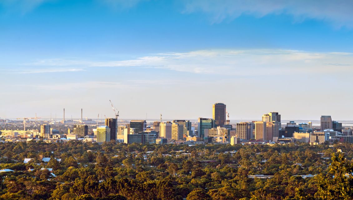
If your idea of Greater Adelaide is the city centre and surrounding suburbs, then think bigger – way bigger. Greater Adelaide takes in the 11,000sq km stretching from Cape Jervis to Murray Bridge, including the towns of the Barossa and the boundary of Port Wakefield. Around 85 per cent of the state’s population lives in this region, and it encompasses 80 per cent of SA’s economy. Check out a map here.
Why does the Greater Adelaide Regional Plan Discussion Paper matter to you?
It’s not exactly breaking news that we’re in the middle of a housing crisis. In the short term, the State Government is easing the pressure through grants, the abolishment of stamp duty, land releases, and HomeStart.
But in the longer term, we need to build more houses. A lot more houses. Since 2011, Greater Adelaide’s population has only grown by 167,000, but that’s projected to increase by 670,000 in the next 30 years. On top of that, the number of South Australians living alone is climbing: Single-person households are already up by 78 per cent since the 1990s, and that trend shows no signs of slowing.
The Commission has done the maths and worked out that 300,000 new homes are needed by 2051 to make Adelaide’s housing affordable and accessible for everyone. Where these homes should be built, what they should look like and what infrastructure is needed to support them is all included in the Discussion Paper.
Long story short, it lays out a proposal for where and how Adelaide should grow so that South Australians can weigh in before the plan for their region’s future is finalised.
What does the Discussion Paper propose for Adelaide’s future?
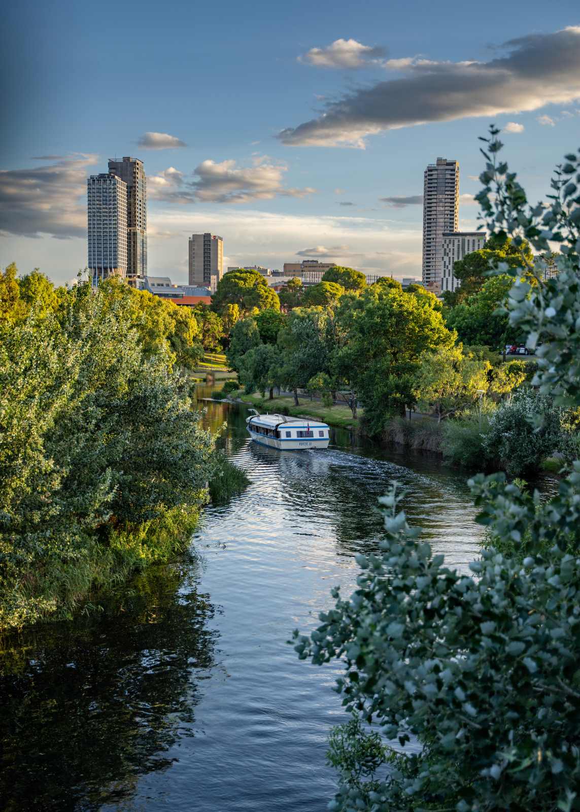
While Adelaide’s CBD will continue as the heart of the region, the Paper has earmarked four outer areas for major new housing and business growth to create "satellite cities". These four regional hubs, which the Paper also calls "spines", would extend from the four major rail and motor transport corridors branching out from Adelaide’s centre.
Southern spine: An expansion of the coastal towns of Victor Harbor and Goolwa, with their surrounds being used for new housing, plus commercial and industrial areas, with access via the Southern Express Way.
North-Western spine: An area of new residental and industrial zones starting at the southern end of the Port Wakefield Highway and stretching northward past the Riverlea development to Two Wells and beyond.
North-Eastern spine: An expansion of Roseworthy for new homes and industry, with access via the Northern Expressway, and the Horrocks Highway as the eastern boundary. The towns of Freeling and Kapunda will also be investigated for modest housing growth.
 Eastern spine: Uses the South Eastern Freeway as its central axis, with the area around Callington earmarked for new industrial and commercial land, and Murray Bridge to be expanded for both residential and business use.
If you’re having trouble visualising all this, you can see these “spines” on a map here.
The Paper also includes a map of proposed areas around metropolitan Adelaide where large urban housing developments on former industrial land could be built during the next 30 years. Take a look.
The vision of Adelaide’s future is based on the concept of “living locally”. This means locating housing, jobs and services closer together so most people – wherever they live in the region – can work, shop, study and socialise within an easy walk, ride or public transport commute from home.
To read or download a summary or the complete discussion paper, click here.
How to have your say
You’ve got until 6 November 2023 to provide feedback on the Greater Adelaide Regional Plan Discussion Paper, and can do so via:
- The YourSAy survey
- The PlanSA online submission form
- An online conversation with a Planning Commission staff member
- Email or snail-mail
This story originally appeared on The Post - a media partnership between the Government of South Australia and Solstice Media to inform young South Australians about the policies that underpin issues affecting their lives.